Home ›
RV & Marine › Marine & Boat › 602007-1 – HUMMINBIRD Marine Cartography, Compatible With All GPS-Equipped HELIX® G3/G3N, SOLIX, APEX Chart Plotters Detailed Coverage Of Northeast States In Connecticut, Delaware, Maine, Massachusetts, New Hampshire, New Jersey, Pennsylvania, Rhode Island, Vermont, West Virginia And New York O
Marine & Boat
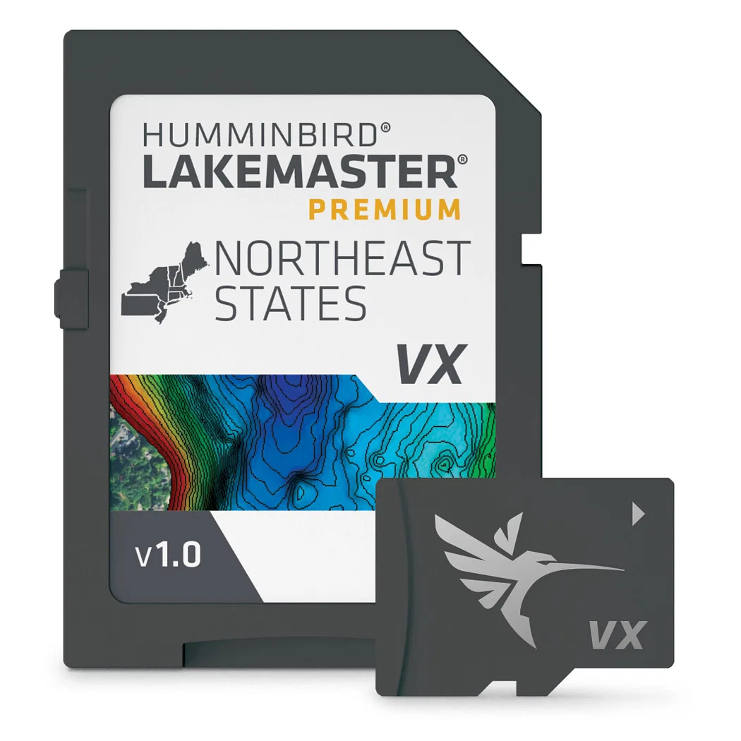
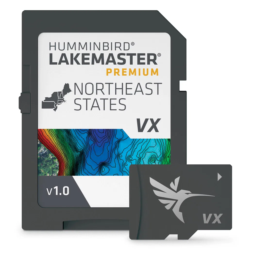
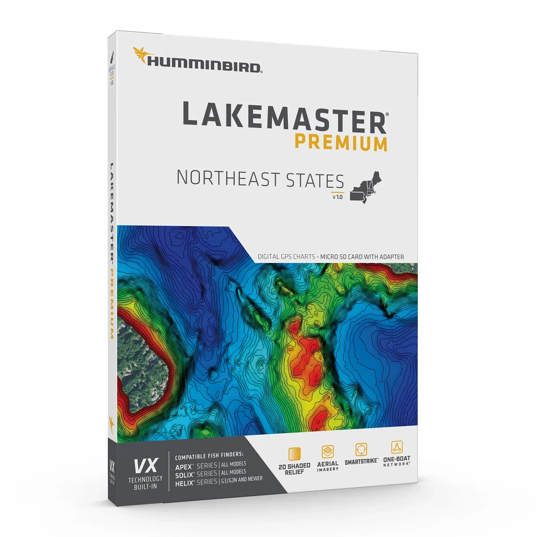
602007-1 – HUMMINBIRD Marine Cartography, Compatible With All GPS-Equipped HELIX® G3/G3N, SOLIX, APEX Chart Plotters Detailed Coverage Of Northeast States In Connecticut, Delaware, Maine, Massachusetts, New Hampshire, New Jersey, Pennsylvania, Rhode Island, Vermont, West Virginia And New York O
$216.45Original price was: $216.45.$64.93Current price is: $64.93.
HUMMINBIRD Marine Cartography featuring Compatible With All GPS-Equipped HELIX® G3/G3N, SOLIX, APEX Chart Plotters. Part #: HUM602007-1.
Features
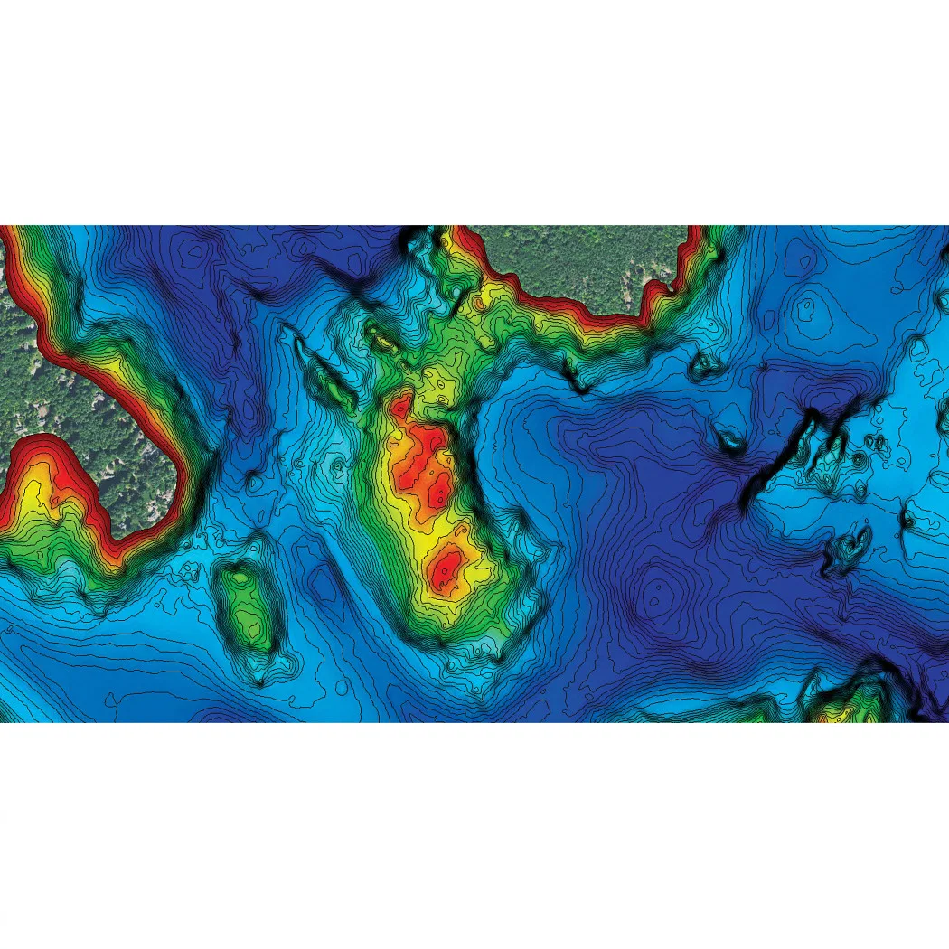
2D Shaded Relief: Make Bottom Detail And Depth Changes Easy To Spot So You Can Quickly Identify Fish Holding Areas
Aerial Imagery: Navigate More Confidently And Find New Fishing Spots With The Help Of Aerial Imagery
VX Technology: Provides Exceptional Map Performance And Customizable Color Palettes
SmartStrike: Highlights Areas Of The Lake Map Where Fish Are Most Likely Biting
Chart Presets: Simple And Easy To Change Between Your Own Custom View Settings
Depth Highlight: Highlight A Selected Depth Range So You Can Target Productive Water And Stay Where The Fish Are
Shallow Water Highlight: Easy-To-See Red Shading Highlights Shallow Water Areas On An Adjustable Range From 0 To 60 Feet
Water Level Offset: Synchronize The Depth Contours And Shorelines Of Your LakeMaster Charts With The Actual Water Levels Of Lakes, Reservoirs And Rivers