NAVIONICS Marine Cartography featuring Compatible With Chart Plotters (See Compatibility Chart). Part #: NAV010-C1466-40.
Features
- Navigate With Our Best Offshore And Inland Lake Coverage For Your Compatible Chartplotter
- See It Your Way: Customize Your View With Various Chart Layers And Overlay Combinations
- With Your Provided 1-Year Subscription, Access Daily Updates Via The Navionics® Chart Installer Software
- Advanced Route Guidance Technology2 Lets You Navigate With Suggested Dock-To-Dock Routings
- Selectable Map Options Let You Highlight Shallow Areas, Adjust Contour Density Or Select A Fishing Range
- Access Detail-Rich Mapping Of Coastal Features, Lakes, Rivers And More On A Wide Range Of Compatible Chartplotters
- For Improved Fishing And Navigation, Up To 0,5 Meter Contours Provide A Clear Depiction Of Bottom Structure For Fishing Charts As Well As Enhanced Detail In Swamps, Canals, Harbors, Marinas And More
- Change The Way You View Navionics Charts To Focus On The Details That Matter Most To You: Highlight Shallow Areas, Adjust Contour Density, Or Select A Fishing Range
- Unique 3D Views Provide Additional Perspective, Both Above And Below The Waters Surface, To Highlight Key Features And Aid In Situational Awareness
- Limited 1 Year Warranty
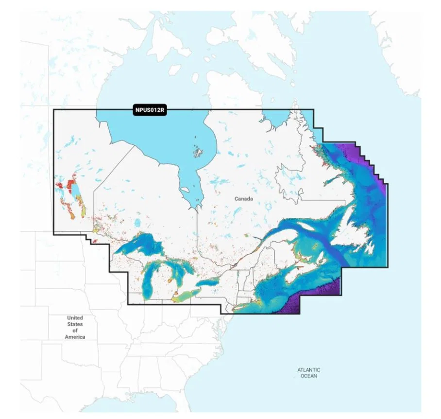
 Detailed Coverage_1.webp)
 Detailed Coverage_2.webp)