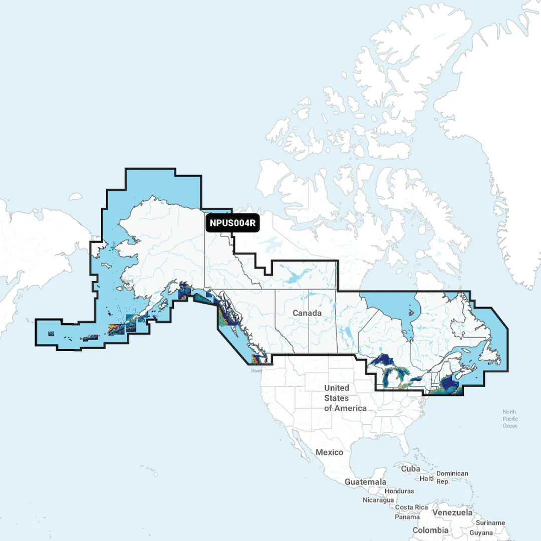
Home › RV & Marine › Marine & Boat › 010-C1368-40 – NAVIONICS Marine Cartography, Compatible With Chart Plotters (See Compatibility Chart) Detailed Coverage Of US North And Great Lakes – Lakes, Rivers And Coastal Region Code: NPUS005R On SD/Micro-SD Card One-Year Subscription With Auto Guidance Technology, High-Resolution Relief S
Marine & Boat

010-C1368-40 – NAVIONICS Marine Cartography, Compatible With Chart Plotters (See Compatibility Chart) Detailed Coverage Of US North And Great Lakes – Lakes, Rivers And Coastal Region Code: NPUS005R On SD/Micro-SD Card One-Year Subscription With Auto Guidance Technology, High-Resolution Relief S

Original price was: $322.58.Current price is: $96.77.

Availability: 9 in stock

🚚 Free Shipping over $38
✓ Premium Quality
🔒 Secure Payments
↻ Money Back Guarantee
SKU: 010-C1368-40
CATEGORY: Marine & Boat
Description

NAVIONICS Marine Cartography featuring Compatible With Chart Plotters (See Compatibility Chart). Part #: NAV010-C1368-40.

Features

  • Nautical Chart: Comprehensive Charts Are Derived From Multiple Official, Government And Private Sources, Displayed In A Familiar Look And Feel
  • Community Edits: Get Useful Local Knowledge From Edits Made By Users Of The Navionics Boating App On Your Compatible Smart Device
  • Dock-To-Dock Route Guidance: Start Your Trip With A Suggested Path
  • SonarChart Live Mapping Feature:
  • Watch New HD Depth Maps Develop In Real Time As Your Boat Moves Through The Water
  • 3D View: Adjust The Perspective Of Your Chart View To Highlight Key Features And Enhance Awareness
  • Aerial Photos: Get A Better Sense Of Your Surroundings
  • Limited Supplier Warranty

Product Information

Scroll to Top