NAVIONICS Marine Cartography featuring Compatible With Chart Plotters (See Compatibility Chart). Part #: NAV010-C1366-30.
Features
- Integrated Garmin And Navionics Content Provides Exceptional Coverage, Clarity And Detail In A Familiar Look And Fee
- Easy Access To Daily Chart Updates Is Available Via The Navionics Chart Installer Software Or Wirelessly Via The Plotter Sync Feature With The Navionics Boating App
- Navionics Advanced Dock-To-Dock Route Guidance Technology Uses Your Boat Settings, Along With Chart Data And Frequently Traveled Routes, To Calculate A Suggested Path To Follow
- Download The Community Edits Content Layer To Any Navionics Card, And View This Valuable, Local Information: Contributed By Navionics Boating App Users: On Your Compatible Chart plotter
- For Improved Fishing And Navigation, SonarChart HD Bathymetry Maps Display Up To 1 Feet Contours, Providing A More Detailed Depiction Of Bottom Structure
- Fishing Range Advanced Feature Lets You Highlight A User-Defined Target Depth Range
- To Aid In Navigation, The Shallow Water Shading Advanced Feature Highlights Depths Up To A User-Defined Level
- SonarChart Live Mapping Feature Allows Boaters To Create New Personal 1 Feet HD Bathymetry Maps That Display In Real Time On The Screens Of Their Compatible Plotters While Navigating
- Limited 2 Year Warranty
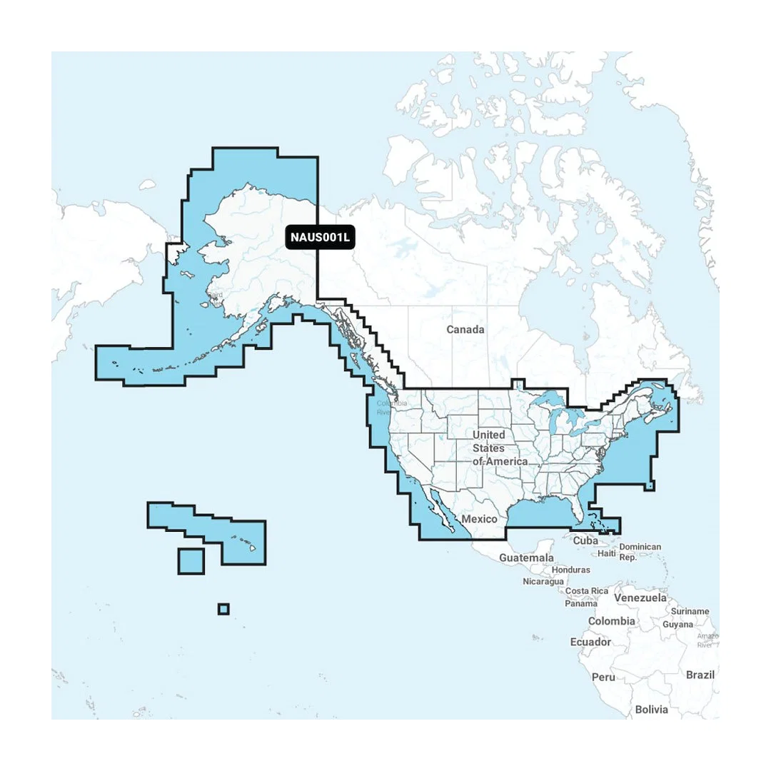
 Detailed Coverage_1.webp)
 Detailed Coverage_2.webp)
 Detailed Coverage_3.webp)